
Meet the Team Behind EOIntelligence
EOIntelligence brings together deep experience in space systems, ground segment development, geospatial technology, Earth observation, and applied scientific solutions.
Senior expertise across the Earth observation chain
A small, senior team with shared remote-sensing heritage. Together, they cover the path from satellite payload to decision-ready geoinformation across processing-chain engineering, InSAR, motion analytics, agriculture, and land mapping.
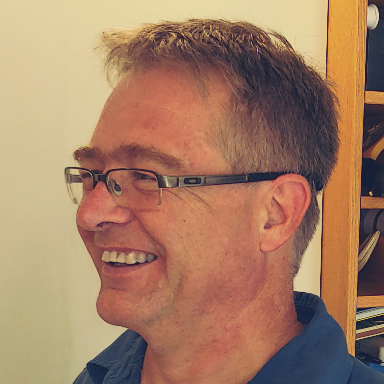
Wolfgang Lück
Chief Executive OfficerFounder of EOIntelligence and lead for IRMI™, ground-segment strategy, SAR, and InSAR.
Wolfgang built EOIntelligence to apply three decades of ground-segment heritage to the NewSpace era, across three streams: licensing the IRMI™ processing system, operating it as a service, and senior SmallSat mission consulting.
The thread runs back to a research internship at Infoterra, Astrium, in Germany, where he co-designed IRMES, an early image archiving, cataloguing, and automatic-classification system, the direct ancestor of today’s IRMI™.
He is the team’s SAR and InSAR specialist, with interferometry and DEM-from-SAR experience, and leads the company’s InSAR work. He draws on a strong network across the South African small-satellite ecosystem, including Simera Sense and Dragonfly Aerospace, and long-standing relationships with satellite manufacturers, operators, and ground stations.
He holds a BSc in Forestry and an MSc in GIS and Environmental Geography from the University of Stellenbosch, has published in peer-reviewed journals and the Manual of Geospatial Science and Technology, and reviews for several remote-sensing journals. His perspective on the future of Earth observation was featured in Science Times in April 2025.
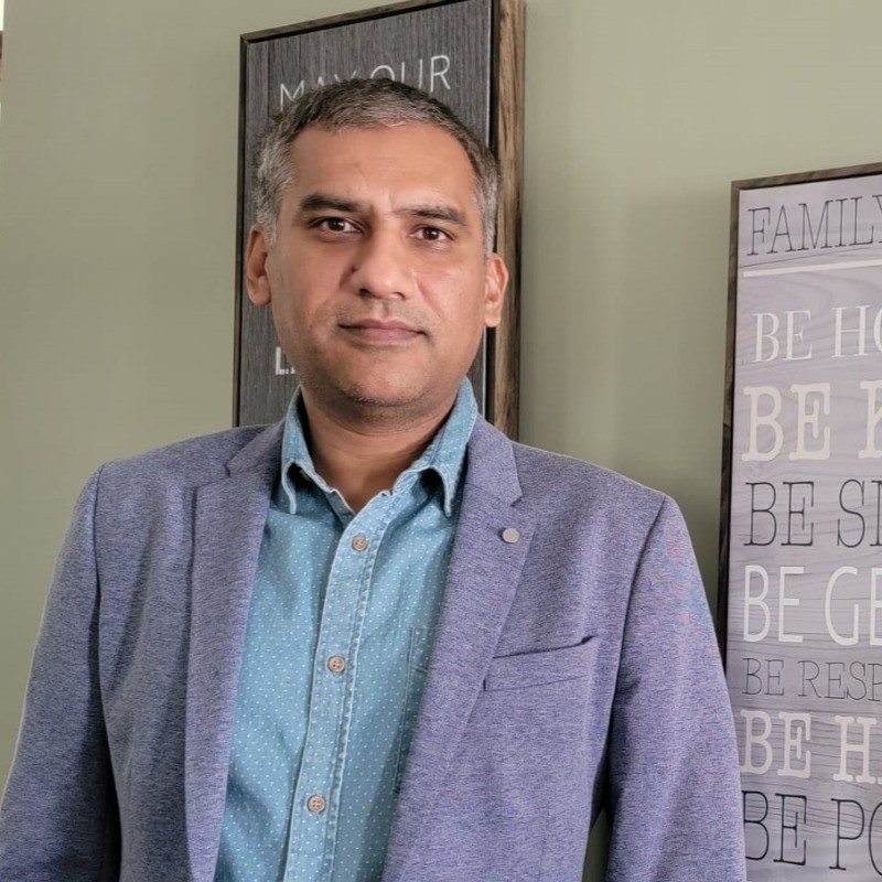
Dr Masroor Hussain
Principal ScientistLead for detection, classification science, optical image analysis, and automated production pipelines.
Masroor holds a PhD in automated urban land-use classification and change detection from the University of Manchester and an MSc in Space Science, with postdoctoral fellowships at Queen’s University.
Over nearly a decade at PCI Geomatics he led the object-based image-analysis framework that was productised as Object Analyst, drove change detection and machine-learning classification, and delivered CARD4L and ISO 19115-2 compliant ARD processing for South African National Space Agency SPOT products, building these as automated cloud pipelines on AWS.
He and Wolfgang have co-published on object-based analysis and land-cover classification. He joined EOIntelligence in March 2024.
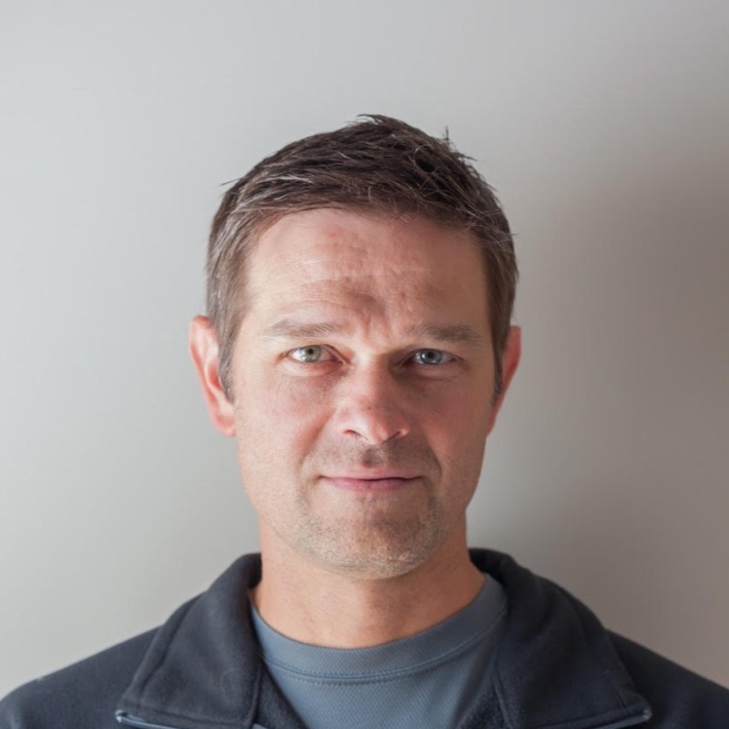
Cobus Stals
Senior ScientistLead for agriculture, land mapping, crop classification, and digital soil mapping.
Cobus spent sixteen years at GeoTerraImage in Pretoria, rising from analyst to applications development, where he built object-oriented crop-type classification with machine learning, a grazing-analysis system for regenerative agriculture, and sensor recommendations for the GeoFarmer precision-farming platform.
He developed and delivered land-cover and REDD forest-mapping training for the Botswana Department of Surveys and Mapping and for SADC representatives.
He holds an MSc in GIS and Environmental Geography, a BSc Honours, cum laude, in GIS, and a BSc in Applied Geoinformatics, all from the University of Stellenbosch, and is a PhD candidate in digital soil mapping.
Need senior Earth observation expertise?
Talk to EOIntelligence about IRMI™, processing services, calibration, geoinformation products, or mission consulting.